Uplands and plateaus alternate with lowlands, depressions, and valleys
The Estonian explanatory dictionary gives two definitions to the word ‘landscape’:
- the landscape as an area with a naturally uniform appearance, where certain landforms, vegetation units, manifestations of human activity, etc. are repeated;
- landscape as the nature of the appearance, colours, and shapes of a given area within the field of vision.
The European Landscape Convention defines a landscape as an area, as perceived by people, whose character is the result of the action and interaction of natural and/or human factors [1].
Landscapes are divided into landscape units of different levels:
- ‘landscape province’ means a landscape unit comprising a geologically homogeneous part of a natural sub-area (for example, the Baltic landscape province);
- ‘landscape sub-province’ means a part of a landscape province with a uniform terrain. Estonia is divided into three landscape sub-provinces: Lower Estonia, Upper Estonia, and the Peipsi Basin;
- ‘landscape area’ means a part of a landscape sub-province with similar natural conditions (terrain, geological structure and processes, climate, vegetation) and a defined geographical location. The distinguishable landscape areas are Northern Estonia, Western Estonia, Central Estonia, Eastern Estonia, and Southern Estonia;
- ‘landscape region or a natural geographical region’ means a part of a landscape area covering one landform (for example, lowlands, uplands, plateaus) or a natural object (for example, an island). There are 25 landscape regions in Estonia;
- ‘landscape locality’ means a form of meso-terrain complex with uniform natural conditions and course of development (hill complex, valley complex, wider plain). The meso-terrain is formed by medium landforms (ridges, hills, and lake basins) with an area of a few to a few dozen square kilometres;
- ‘landscape division’ means a landscape unit that includes a part of a landscape locality and has formed on one meso-terrain form (hill, ridge, plain);
- ‘landscape body or facies’ means the smallest landscape unit within which the surface cover, water regime, microclimate, soil, and vegetation cover are more or less uniform. In most cases, the landscape body coincides with a small landform (for example, bog hollows) or a part of a medium landform (for example, the top of a ridge or a valley column).
Estonia is located in the north-western part of the East European Plain, which is why the terrain is generally flat. Despite the small size of Estonia, our landscapes are very diverse – our uplands and plateaus alternate with lowlands, depressions, and valleys.
Estonian landscapes have largely developed as a result of the movement of continental glaciers. The area was cleared of its ice sheet 13,500–11,000 years ago. However, the melting of the ice did not take place continuously, but with several pauses and temporary recoveries. The edge formations marking the long-term pauses of the retreating of the edge of continental glaciers are located in zones, the oldest of which is the Haanja zone, followed by the Otepää-Karula, Pandivere, and Palivere edge formations zones [2].
The territory of Estonia is divided into 25 landscape regions [3]. These are:
- uplands (Haanja, Sakala, Otepää, Pandivere, Vooremaa, and Karula). They have an uneven surface shape and host a variety of smaller landforms. The highest peak in Estonia and all the Baltic States is Suur-Munamägi (317 m), located in the Haanja Uplands;
- inland paludified lowlands (Peipsi, Alutaguse, Metsapoole, Soomaa, Kõrvemaa, and Võrtsjärve). They have developed in the areas of Lower Estonia, which were the bottom of large inland water bodies in the late ice age and partly after the ice age. They are largely paludified areas;
- plateaus (Viru, Harju, Central Estonia, Ugandi, Palumaa, and Irboska). Due to the wear of the glaciers, these are predominantly flat or slightly rolling areas at 40–60 metres above sea level. Moraines and a relatively thin surface cover are typical;
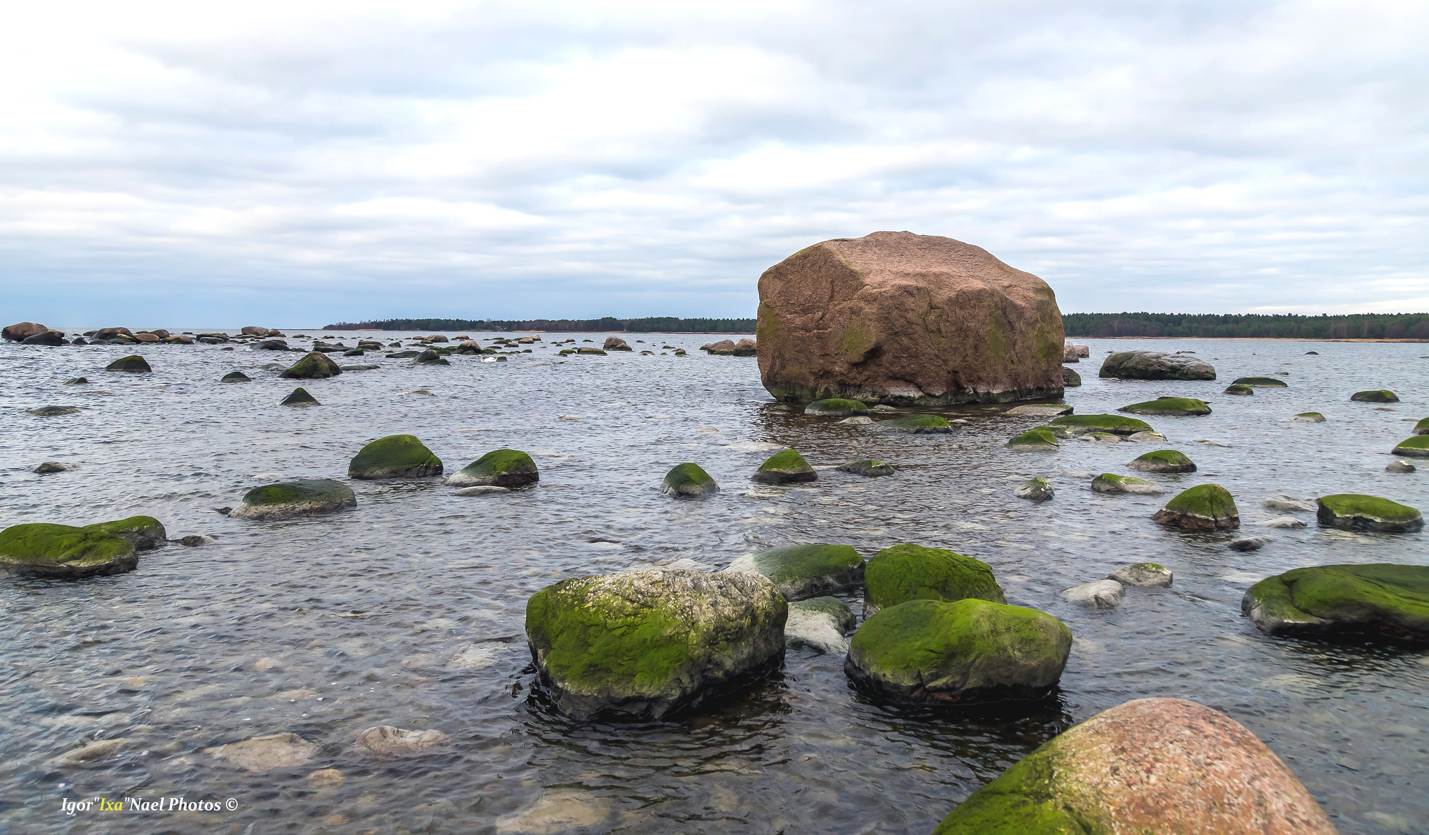
- sea islands and coastal lowlands (the lowlands of Hiiumaa, Saaremaa, Western Estonia, the Gulf of Finland, and the Gulf of Riga). Sandy sea plains and rocky washed moraine plains, which have developed as a coastal terrace, are common in the terrain. Numerous peninsulas and bays are characteristic to these areas. The landscape is characterised by coastal ridges and the mires between them; in the mainland, there are valleys of the lower reaches of the rivers and, in some places, shallow dunes. The length of the coastline on the mainland is 1,242 km; in addition, there are a few thousand islands and islets in the coastal sea, with the total length of the coastline of 2,551 km;
- depressions between the uplands (Valga and Võru-Hargla). They are located in Southern Estonia and are located between the Otepää and Karula Uplands and the Haanja and Karula Uplands, respectively.
Last modified: 30.11.2021
__________________________________________________
[1] https://www.coe.int/en/web/landscape/home
[2] J. Paal. 1997. Eesti taimkatte kasvukohatüüpide klassifikatisoon. Tartu Ülikooli Botaanika ja Ökoloogia Instituut. Tallinn.
[3] I. Arold. Eesti Maastikud. Tartu Ülikooli Geograafia Instituut, 2005