Landscapes of memory are place-lore collected in Estonian national parks
The landscape of memory brings together place-lore, stories, and legends that can be associated with a specific place on the map. Residents of the immediate area have identified themselves through that legacy for centuries and shaped the so-called us-and-them feelings, which are important for the survival and self-determination of a community.
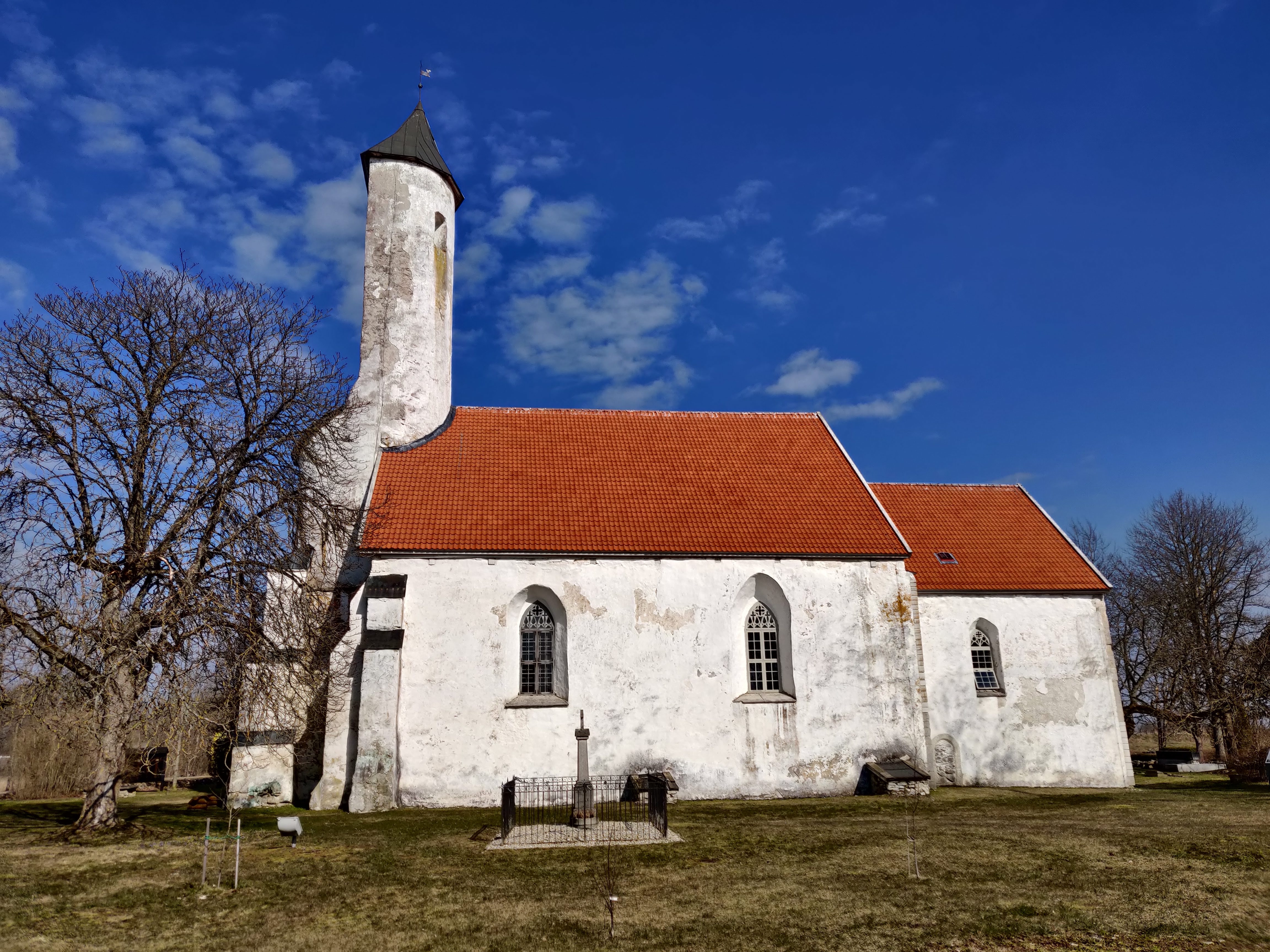
The author of the name and idea behind landscapes of memory is Rait Parts, who started recording the landscapes of memory of national parks in Soomaa in 2006. In the course of this, place names and stories about Vilsandi, Matsalu, Lahemaa, and Karula National Parks have been collected from locals and searched for in archives. In Lahemaa National Park, an additional project for the villages of Kuusalu rural municipality took place in 2017–2019, where historians studied the history and oral lore of 16 villages and compiled historical certificates of the villages.
The map application of place-lore in the geoportal of the Land and Spatial Development Board contains oral lore and visual information about the five aforementioned Estonian national parks and the adjacent villages under the name of the map application for landscapes of memory. Here, you can view photos and listen to audio clips at the marked map points, and for some areas, you can also view video clips.
In addition to heritage sites, you can simultaneously display cultural monuments, nature conservation and cultural heritage objects, and choose different types of modern or historical maps for the base map. There is a plan to improve the application over time both in terms of national parks and other regions of Estonia [1].
The project of the landscapes of memory of national parks was preceded by the previous project Radar, which is a digital comprehensive map of Estonia enriched with cultural history information. The project Radar was initiated by a working group of the Department of Folkloristics of the Estonian Literary Museum, led by Tõnno Jonuks.
The main source of Radar is folk tales. In most cases, such material is collected in the Estonian Folklore Archives of the Estonian Literary Museum and the Cultural History Archives. Additionally, material collected by Estonian local museums and local historians was also used in the course of the work. All folklore was digitised and compiled into a database, then the objects were located in the landscape and their exact location was determined by GPS. The objects were photographed and the obtained information was inscribed to the digital map [2].
Last modified: 01.12.2021