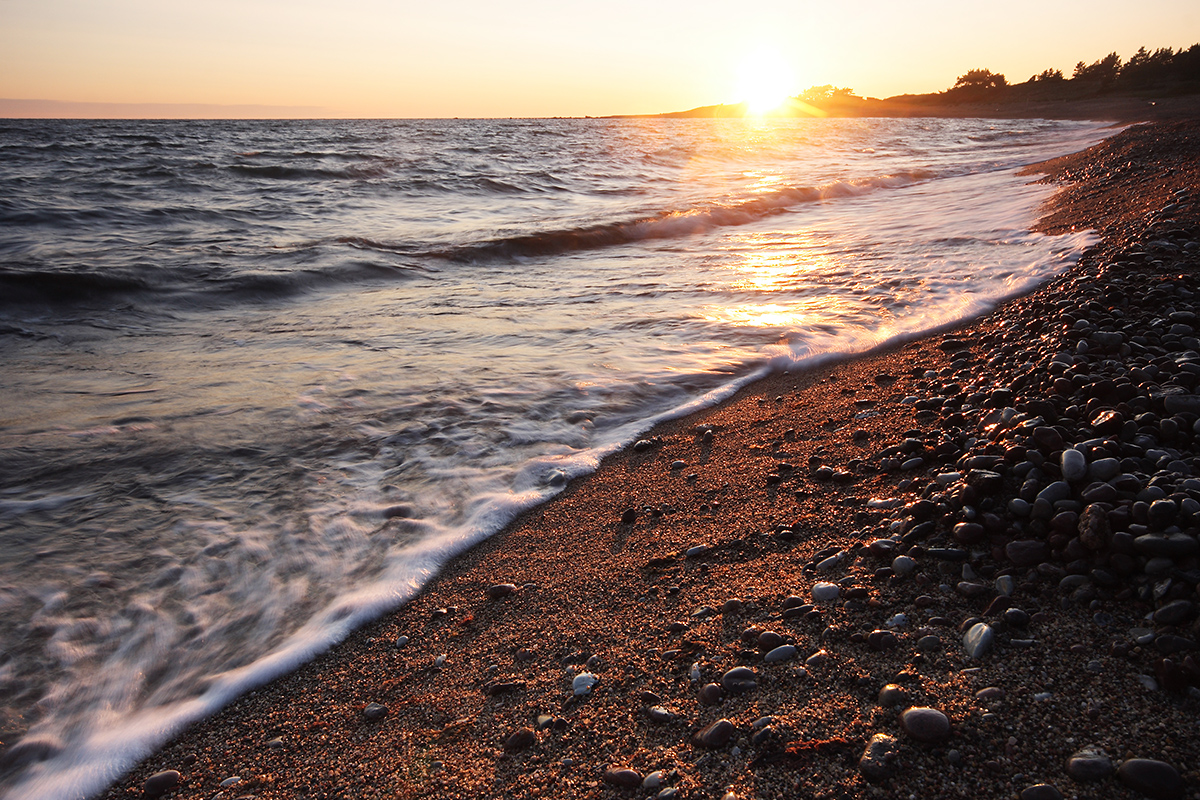
The Estonian coast, including the cliffed coast, is a flat coast in its entirety
The coast is the zone between the shore region (the bottom and land of the sea or large lake, formed mainly by waves) and the bottom and mainland of the adjacent sea or large lake (Lake Võrtsjärv, Lake Peipsi).

The coast is generally divided into steep coasts and flat coasts. The Estonian coast, including the cliffed coast, is a flat coast in its entirety. For example, a fjord coast is a steep coast.
The flat coast is divided into a steep shore and a shallow shore. The steep shore is formed where the sea erodes the shore. These shores are divided into cliff shores and terrace shores. Cliff shores are high, vertically walled shores that have been eroded over time in the sedimentary rock outcrops (e.g. the Panga cliff, Osmussaare cliff). A terrace shore is a shore eroded into loose Quaternary sediments, which is usually lower and flatter than the cliffs and is mostly covered with rubble (e.g. the Tareste terrace shore).
Shallow shores, on the other hand, are low shores. They are characterised by small differences in relative heights, and the sediments are usually evenly distributed on the shore. There are both deposition and erosion land forms on the shallow shore. Shallow shores are divided into erosion shores and deposition shores.
Of the erosion shores, carbonate rock shores are common in Estonia, as well as moraine shores. The limestones exposed on the carbonate rock bank are heavily karst-like (e.g. the Vilsandi limestone pavements). The moraine shores are characterised by an abundance of larger rocks and large boulders (Pärnu Bay, Kihnu island, Manilaid islet, etc.).
The deposition shores include sandy and shingle shores (e.g. the Kõpu peninsula) and silt shores (e.g. the coasts of Haapsalu and Matsalu Bay, etc.). Sandy and shingle shores are formed on the shore sections open to waves, where storm waves throw carbonate rock shingles, gravel, and sand on the shore. A silt shore is characterised by abundant clay sediments partially covered with mud in shallow bays hidden from waves. Coastal reed beds are also widespread there.
Length of the Estonian coastline
Estonia’s coastline is 3,780 kilometres long, well-articulated with peninsulas and bays. Three quarters of it is protected [1].
Of Estonia’s 79 local governments, only 25, or almost a third, can be proud of having a shore. Owning a shore means an obligation for the municipality to protect the shore and its natural values. One of the preconditions for its fulfilment is agreeing on the principles of shore protection and use and applying these principles in land use planning. General restrictions on the use of the shore or bank (limited management zone and building exclusion zone) are set by the Nature Conservation Act. The Water Act provides for a water protection zone.
The shore as the meeting point between three environments – water, air, and land – creates good conditions for greater natural diversity. In terms of the richness of animal and plant species, the shore stands out in any biogeographical zone – from the Arctic regions to the tropics. Throughout the ages, the shore has been affected not only by waves and storm winds, but also by man. The development of the shores has been influenced by hay mowing and animal grazing, reed cutting and boat building, as well as fishing and seal hunting. Today, the traditional activities of the coastal people have been replaced by surfing and sailing, swimming and sunbathing, and building summer houses [2].
Last modified: 15.11.2021
__________________________________________________
[1] Roasto, R. Tampere, U (koost.). 2020. Eesti looduse kaitse aastal 2020. Keskkonnaagentuur. Tallinn.
[2] Peterson, K., P. Kuldna. (koost.) 2005. Rannaalade väärtused ja nende kaitse. SEI väljaanne nr 7, SEI-Tallinn. https://cdn.sei.org/wp-content/uploads/2018/02/4375.pdf