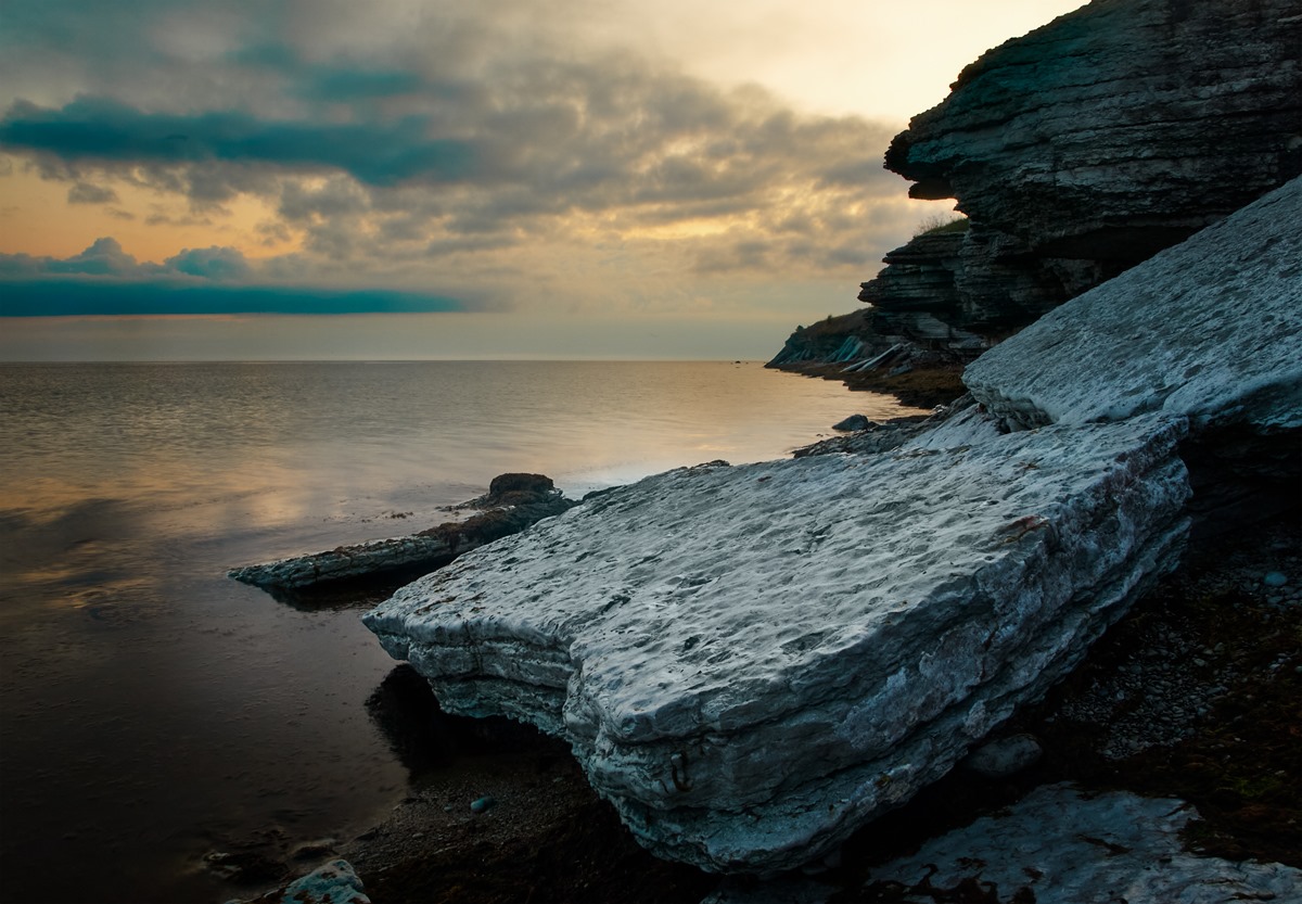
The North Estonian Klint has also been presented as a geological monument worthy of global attention for inclusion in the UNESCO World Heritage List
The North Estonian Klint, often referred to simply as the cliffed coast, is one of Estonia’s greatest geological values and attractions. In Swedish and Danish, klint means a coastal terrace.

By North Estonian Klint, we mean primarily the terraces of the Baltic Klint on the northern coast in the area between Osmussaare and Narva. Also included are the eroded terraces on the border of the Fennoscandian (Baltic) Shield and the Eastern European platform. The length of the North Estonian Klint from a bird’s eye view is about 300 km, but following the coastline, it is about 600 km. It is part of the 1,200-kilometre Baltic Klint, which stretches from the island of Öland to Lake Ladoga [1].
The cause of the formation of the North Estonian Klint is still disputed to this day. Proponents of the tectonic hypothesis argue that the formation of the North Estonian Klint has to do with the deep cracks and fractures that divide the earth’s crust. The second theory justifies the formation of the klint by the movement of continental ice sheets. The third hypothesis finds that the klint has been eroded by water. The fourth hypothesis – in the North Sea, west of the Danish straits, deposits of 10-million-year-old eroded sediments have been found on nearly 100,000 square kilometres. It is possible that they come from the eroded material of the North Estonian Klint. In recent years, these sediments are thought to have been carried by a powerful primeval river that once flowed from Lapland to the Danish straits, some 9 million years ago. However, none of the above theories fully answers the question posed, and it is likely that the klint has been formed by a combination of several processes [2]. As the origin of the klint is still unclear, its age is also a matter of controversy among scientists [3].
The rocks of the Baltic Klint and the North Estonian Klint that is a part of it date back to the Cambrian and Ordovician eras (approximately 540–445 million years ago) [1]. Limestone, sandstone, graptolitic argillite, and blue clay are clearly visible from the rock layers exposed on the klint. The advancing of sea and ice, collisions of continental plates, earthquakes, volcanic eruptions, meteorite explosions, as well as the remains of primitive animals and the traces of their life – fossils – have been recorded here.
The best view of the might of the North Estonian Klint can be witnessed in places where the cliffed coast rises high above the sea. Examples of such places are the Ontika (55 m above sea level), Türisalu (30 m), Rannamõisa (35 m), and Pakri cliffs (25 m). There are landscape protection areas in all these places.
The North Estonian Klint has also been submitted to the UNESCO World Heritage Committee for inclusion in the World Heritage List as a geological monument worthy of global attention.
From Gotland to Western Estonia stretches another klint, the rocks of which date back to the Silurian era (approximately 445–420 million years ago). The well-known outcrops of the Silurian Klint are the Panga cliff, Üügu bluff, Kesse cliff.
Those who are interested can find an exciting additional reading in Kalle Suuroja’s book Balti klint – loodus ja ajalugu (Baltic Klint – Nature and History) and on the klint-themed page of the website looduskalender.ee.
Last modified: 15.11.2021
__________________________________________________
[1] Põhja-Eesti klint osana Balti klindist. https://www.looduskalender.ee/klint/est/4.html
[2] A. Soesoo, A. Miidel. Põhja-Eesti klint. MTÜ GEOGuide Baltoscandia. 2006. https://www.researchgate.net/publication/272149237_Pohja-Eesti_klint
[3] Põhja-Eesti klindi tekkest. https://www.looduskalender.ee/klint/est/3.html